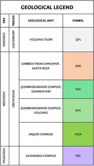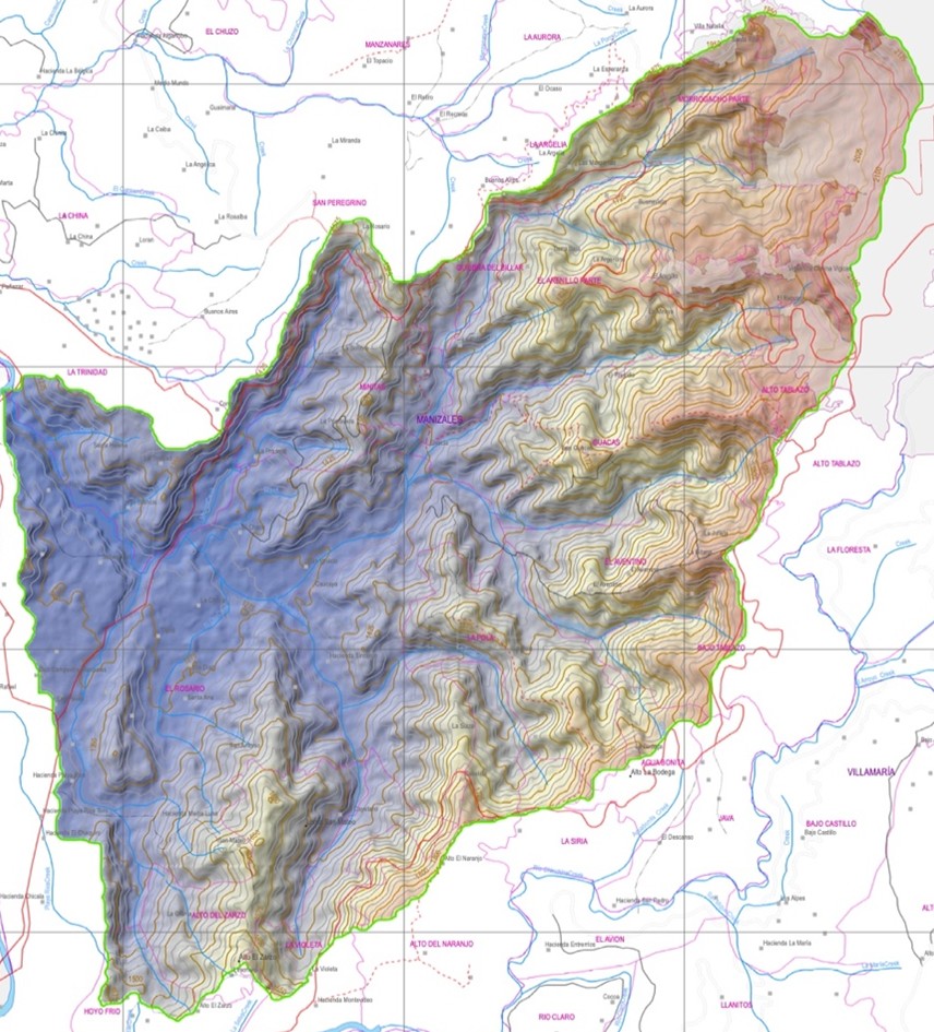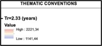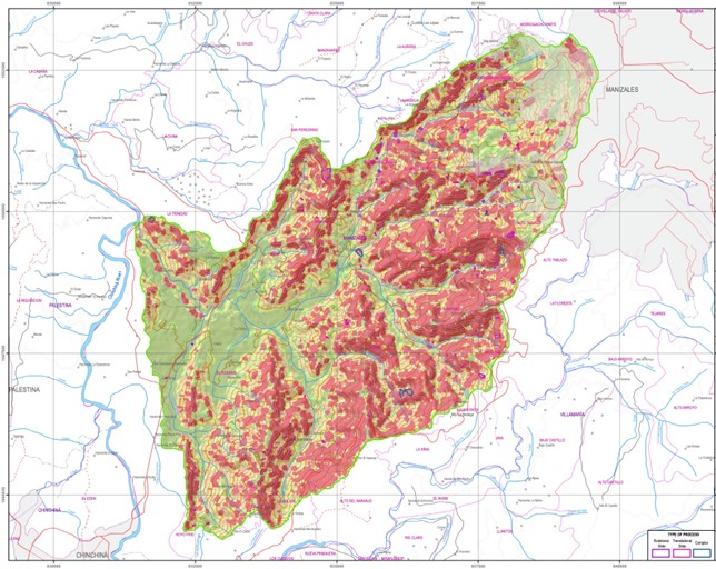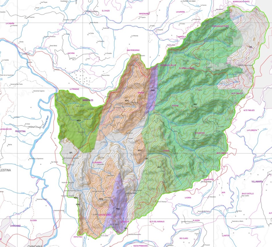
Map 1: Geological-Geotechnical Model and LDD Network
Discretization of terrain using Local Drain Direction (LDD) networks. The basin is divided into physically meaningful slope profiles that align with natural drainage paths and potential failure directions.